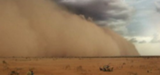
Arrival of a weather front to Tenerife seen from the Observatory Izaña (November 25th, 2012)
This “time-lapse” video was made from images taken every two minutes, for six hours, with the Izaña Observatory’s webcam oriented to northwest, last Sunday November 25. The speed of the images is about 940 times higher than the real, allowing us to observe the emergence of different types of clouds associated with the passage of a cold front on the island of Tenerife.
During the first two hours a typical still orographic lenticular-shaped hat cloud on the top of Teide was observed. That is associated to the southwest flow preceding the arrival of the front, while to the northwest stratiform clouds (Altostratus at different levels) are observed.
Since the third hour the atmospheric circulation intensified causing the formation of Altocumulus lenticularis downwind Teide volcano, on the vertical Orotava Valley, which replicate vertically into three clouds (duplicates variety). Meanwhile, clouds of vertical development, especially Cumulus congestus, begin to be visible to the horizon.
Finally, before the clouds completely hided the visibility above the Observatory, the last phase of the development of Cumulus clouds is observed, with the emergence of anvil shaped cloud tops, characteristic of Cumulonimbus. These are clouds of great vertical development that can cause intense precipitation. In the final moments of the video you can see some droplets on the glass cover of the webcam, a sign of rainfall.
{flv width=”640″ height=”480″ flashver=”0.0.0″ alt=”Error”}VIDEO_FRENTE_251112{/flv}